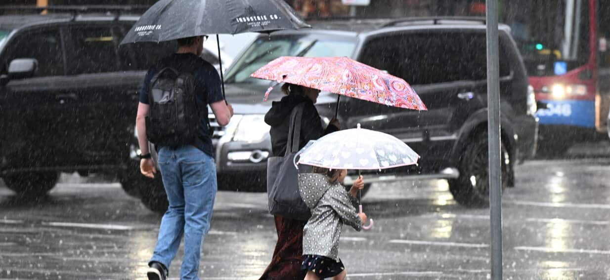
Millions of Australians across several eastern and southern states are bracing for a turbulent weekend of severe thunderstorms, torrential downpours, and potential flash flooding driven by a sweeping low-pressure system.
As SBS News Top Stories reported, unsettled conditions are forecast to batter broad swathes of the country over the coming days, ending a brief interlude of benign weather and threatening outdoor events, transport networks, and sporting fixtures.
Volatile Trough to Trigger Widespread Deluges
The unseasonal instability is being generated by a deepening low-pressure trough colliding with a humid, moisture-laden air mass drawing down from the tropics. The interaction is set to trigger widespread convective activity from southern Queensland down through New South Wales, Victoria, and parts of South Australia.
Meteorological assessments suggest the most intense weather will develop across Friday evening and peak throughout Saturday. Isolated pockets are forecast to receive up to 100 millimetres of rain within a few hours, heightening the threat of rapid-onset flash flooding, particularly across saturated catchments and urban centres where stormwater infrastructure may quickly become overwhelmed.
Metropolitan Centres on High Alert
State capitals are unlikely to escape the brunt of the instability. Greater Sydney and regional areas along the Great Dividing Range face significant disruption, with slow-moving cells expected to generate frequent lightning, damaging wind gusts, and localized hailstorms. Melbourne and regional Victoria have also been placed on alert for sudden squalls that could disrupt domestic flights and regional rail corridors.
Community sporting clubs and outdoor markets have already begun contingency planning, with local councils warning that sodden sporting fields will likely be closed to prevent long-term turf damage. Major transport arteries may also experience flash flooding and lane closures during the heaviest downpours.
Emergency Services Urge Caution on Roads
State Emergency Service personnel in New South Wales and Victoria have begun preparing resources, positioning volunteer crews across high-risk corridors. Authorities have reiterated fundamental safety warnings, particularly advising against non-essential travel through heavily impacted rural regions.
Motorists are being reminded that driving through floodwaters remains the single leading cause of flood-related fatalities nationwide. Residents in storm-prone zones have been urged to secure loose outdoor furniture, clear residential drainage gutters of debris, and park vehicles away from large trees that may be destabilised by saturated soil and high winds.
Lingering Instability Ahead of Midweek Clearing
While the peak of the system is expected to ease by late Sunday afternoon as the trough contracts eastwards into the Tasman Sea, lingering coastal showers and unsettled seas will likely persist into early next week. Forecasters anticipate more stable conditions will return by mid-week, bringing cooler, clearer air behind the frontal boundary.